


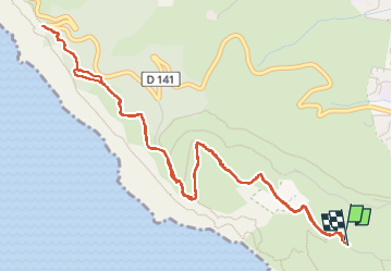
st fretouse le semaphore belvédère la route des crêtes

ego
User


3h01
Difficulty : Medium

FREE GPS app for hiking
 SityTrail
IGN / Geographical institutes
SityTrail Plus
The world is yours!
About
Trail Walking of 7.2 km to be discovered at Provence-Alpes-Côte d'Azur, Bouches-du-Rhône, La Ciotat. This trail is proposed by ego .
Description
montée par le chemin du sémaphore,( petite route goudronnée , qui finit en cul de sac ), là continuer par la piste Jaune (l'ancien chemin de la Vigie jusqu'au sémaphore , il y a de nombreuses variantes pour monter,
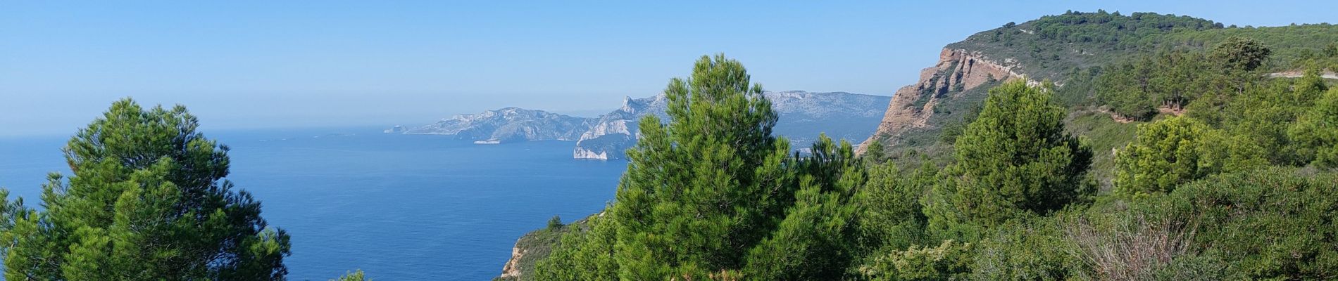
promenade très facile , très belle
Photos


Positioning
Comments